Students map campus Wi-Fi using drones
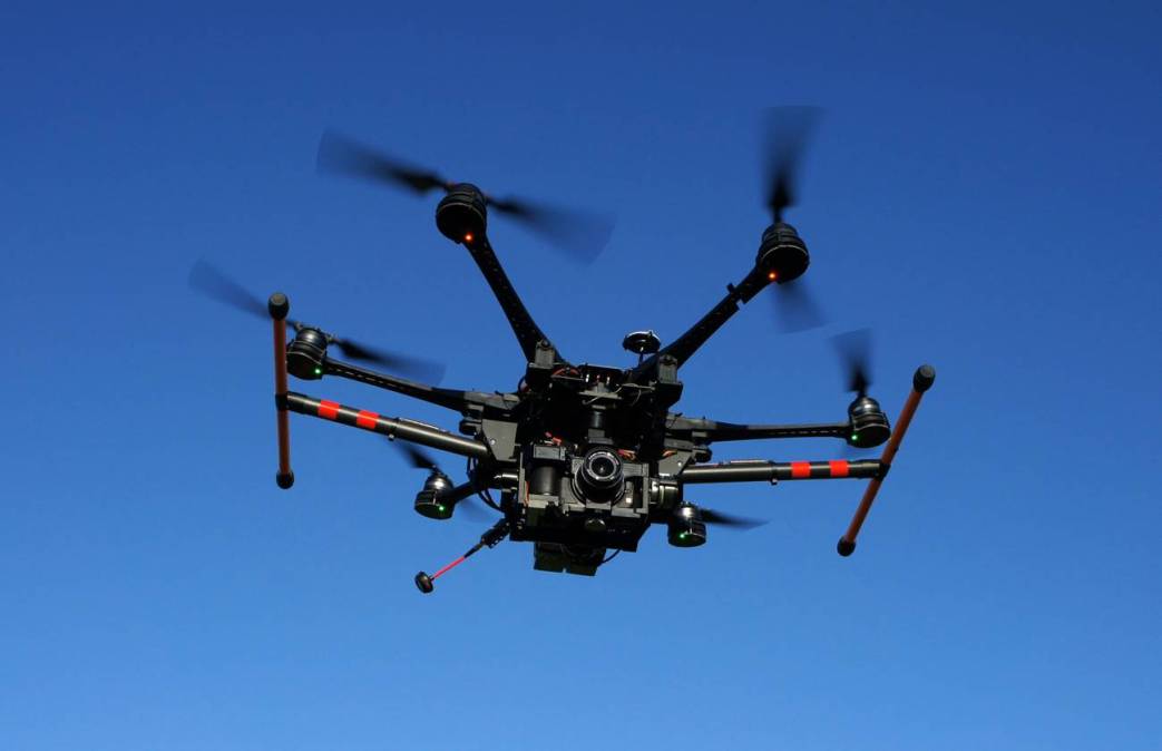
Students at Murray State University in Kentucky recently used drones to map the Wi-Fi networks on their campus through a project funded by NASA.
By mapping the Wi-Fi availability, students hoped to find gaps and weak points in connectivity. Abdul Yarali, a professor in MSU’s Cybersecurity and Network Management program who’s leading six students on the project, told the Murray Ledger & Times that the project, which began last fall, was unique in its use of drones to create a 3D map Wi-Fi coverage on campus.
The Ledger reported that the project received $17,000 from NASA.
Yarali said the project could serve as a proof-of-concept that would allow wider use, creating a new way to identify which regions of facilities are most in need of additional wireless access points.